___
TacOps is comprised of a set of web-powered tools that feeds Emergency Responder information into a centralized Google Earth database. Coordination teams then use the data to organize responders on the ground. It was done as a joint R&D effort between Cisco and Penn State.

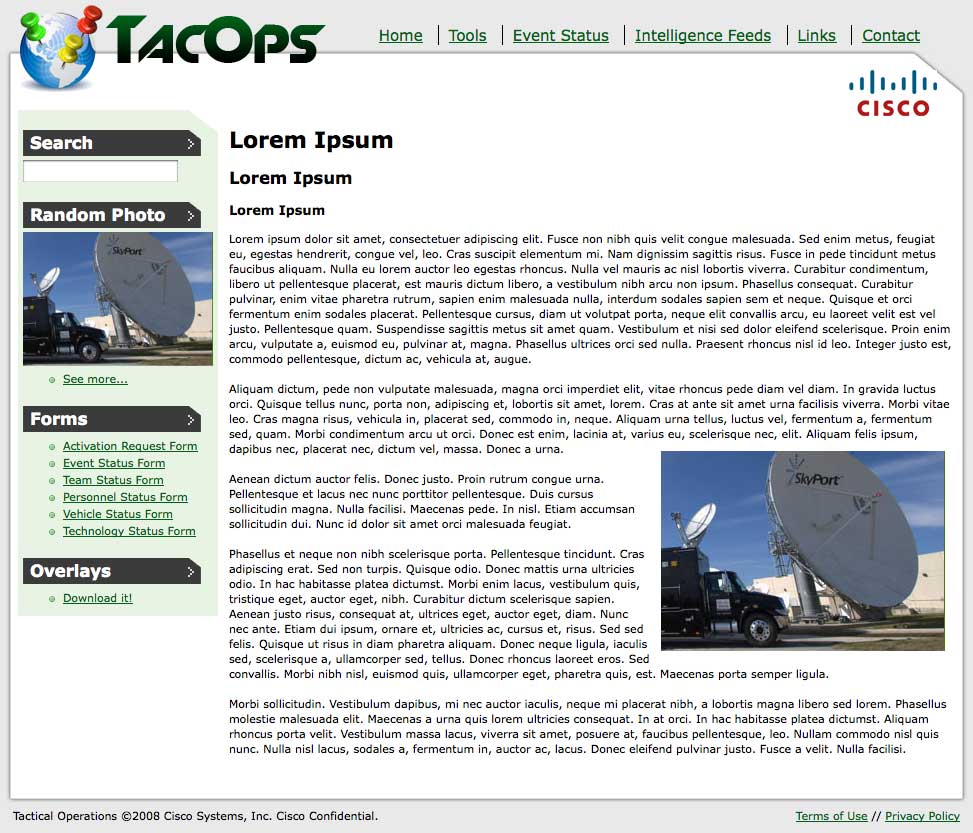
Responders could access and send information to TacOps through a web portal

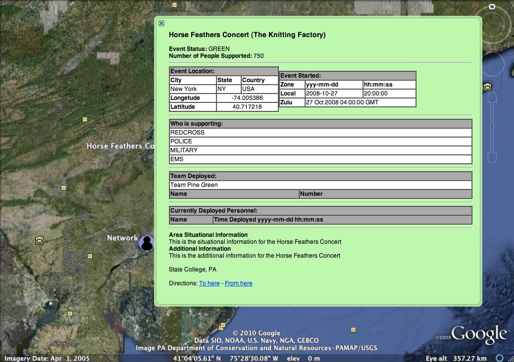
Coordinators had access to an overlay for Google Maps showing details about events and those on the ground there.

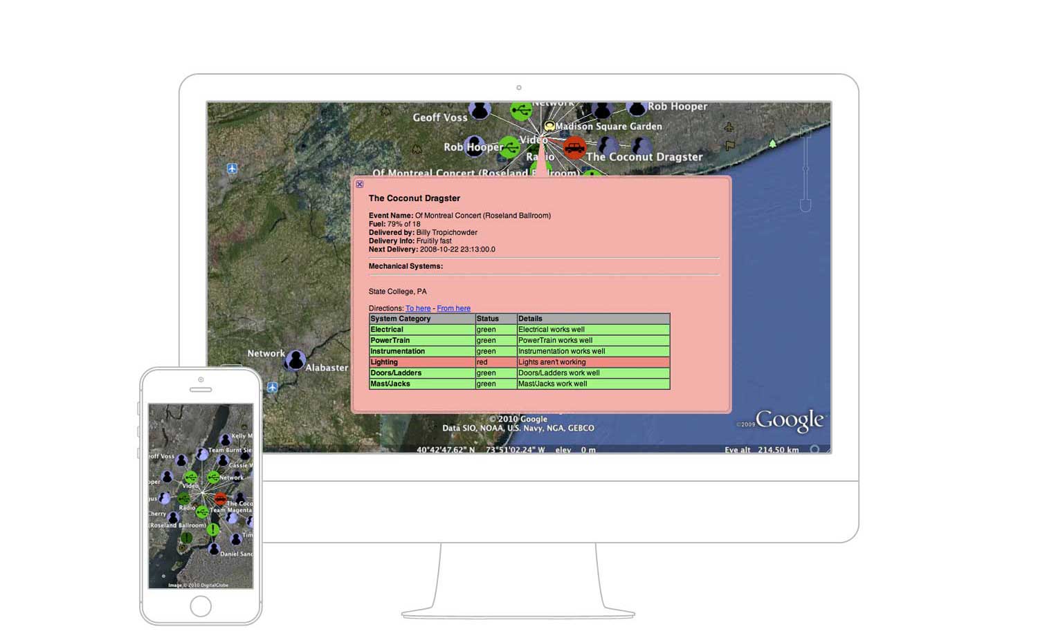
The map is capable of showing the 'health' of various equipment, vehicles, and resources

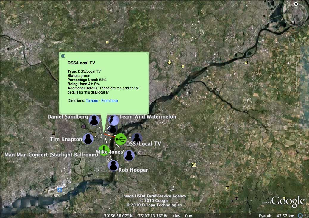
Teams could also be organized and displayed based on location
Cisco TacOps
___
Emergency Response System
Cisco / Penn State, 2008
Research and development of an early-stage system to help coordinate emergency responders during disaster scenarios. Cisco now uses this technology to aid response teams and provide wireless network service to areas affected by disasters.